Laser system monitors mines for safety
Mining & Resources
LASER mapping and monitoring system ventures out of the lab into commercial use.

Sign up to receive notifications about new stories in this category.
Thank you for subscribing to story notifications.
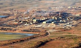
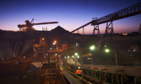
The South Australian office of Maptek has sold its recently created laser Sentry monitoring system to Havilah Resources Pty Ltd which will use the system at its open cut Portia gold mine in South Australia.
The Sentry system can monitor minute mine wall movement, record stockpile volumes, conduct geotech analysis and calculate the size of potential rockfalls.
Founded 30 years ago, Maptek provides software, hardware and services for more than 75 mining companies around the world.
Chris Giles, managing director of Havilah Resources said the Sentry product was ideal for the unique situation of the Portia mine.
“The Portia mine is very unusual as the gold deposit sits about 60m to 70m below a surface of soft clay material,’’ he said.
“To my knowledge no one has dug a mine through this material, at such a depth, before in Australia. Normally miners are cutting through more stable surface material, such as rock.
“As a result wall integrity accuracy is critical, especially for worker safety. The accuracy of this new system allows us to measure any movement in the mine walls down to a couple of milimetres.
“If the data shows a wall is burgeoning this can indicate possible future pit wall failure and the problem can be addressed safely and quickly.
“This system allows us to measure wall movement of just a half a centimetre, up to a kilometre away.’’
“It also provides a cost effective solution compared to expensive radar systems which can cost up to $40,000 a month to hire.’’
The automated system constantly scans walls and zones and sends the information to a surveyor or engineer via their laptop or tablet. It is also used to measure stockpiles of ore quickly and accurately.
“It also allows us to work out volumes very accurately, measuring how much material has been added to stockpiles and be aligned with material taken out of the mine, right down to down to a couple of cubic centimetres,” Giles said.
James Howarth of Maptek said the system helps replace the need for a surveyor or engineer to physically enter an active mining area to collect data and reduced the need for expensive radar measuring equipment.
“Sentry can be used to alert staff when surface movements approach certain thresholds and is ideal for detecting small movements over a long period of time to identify trends,” Howarth said.
“Remote detection causes no interruption to mining activity and can be controlled from the field or the office while scans can be viewed in real time.
The 3D scanning data can also be used to calculate volumes of potential rockfalls and conduct geotech analysis.
Phillip de Coursey, chief executive officer of the Resources and Engineering Skills Alliance (RESA) said the breakthrough system was good news for the mining industry.
“Anything that adds to mining safety in a cost effective way is always welcomed,” he said. “Maptek continue to establish themselves as a world leader in mapping technology.”
He said with the industry currently facing many emerging issues and challenges, such as falling commodity prices, it was reassuring to see to companies taking a leadership role with investment and technological innovation.
Jump to next article


